A Secondary Peak Many People Don’t Expect
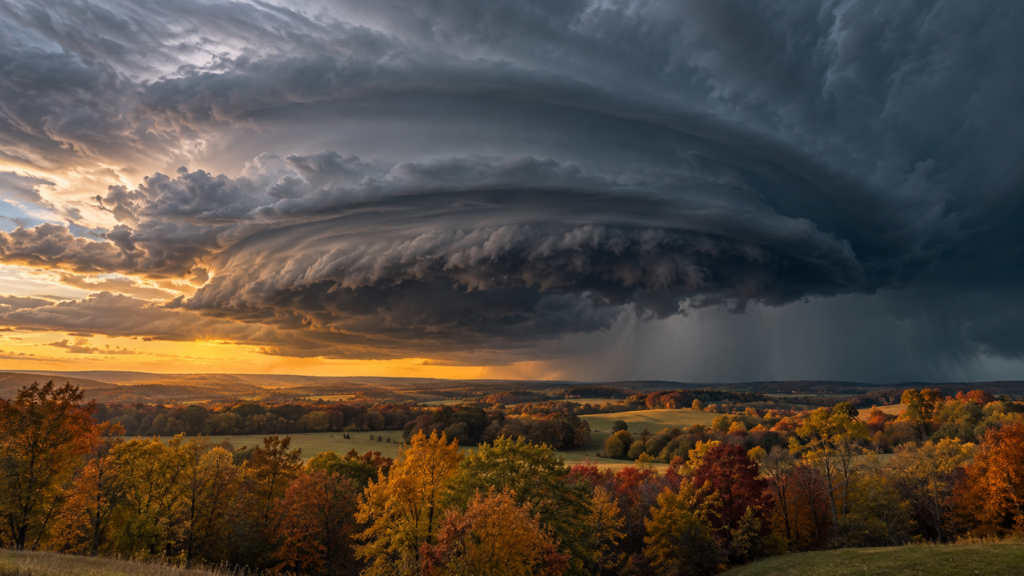
Tornadoes are most closely associated with spring, and for good reason—spring produces the year’s highest tornado frequency across most of the country. But fall brings a genuine secondary tornado season, particularly across the Southeast and lower Mississippi Valley, driven by a different but equally real combination of atmospheric ingredients coming together as the broader seasonal pattern shifts toward winter.
What Spring and Fall Tornado Seasons Have in Common
Both seasonal tornado peaks share the same fundamental requirement: the collision of contrasting air masses along an active storm track, creating the wind shear and atmospheric instability tornadoes require. In spring, this typically involves increasingly warm, humid air pushing north from the Gulf of Mexico clashing with cold air still present from winter. Fall’s secondary peak involves a similar clash, but running in the opposite seasonal direction—increasingly cold air masses beginning to push south and east as winter approaches, meeting warm, humid Gulf air that hasn’t yet fully retreated for the year.
This fall version of the clash tends to be somewhat less frequent and generally less intense than the spring peak, but the fundamental atmospheric mechanism producing tornado-favorable conditions is genuinely similar in both seasons.
Why the Gulf Coast and Lower Mississippi Valley See This Most
The fall secondary tornado peak is considerably more pronounced across the Gulf Coast states and lower Mississippi Valley than in the traditional “Tornado Alley” region of the central Plains, which sees its primary activity concentrated in spring rather than displaying a comparable fall peak. This regional difference relates to geography and the typical position of the jet stream and storm track during fall: as the jet stream begins its seasonal shift southward, it more frequently interacts with the warm, moisture-rich Gulf air still present across the Southeast during October and November, creating repeated opportunities for the kind of atmospheric clash that produces severe weather and tornadoes specifically in that region.
The central Plains, by contrast, typically sees Gulf moisture retreat further south by fall before the jet stream shifts into a position that would otherwise support significant severe weather there, meaning that region’s tornado activity drops off more completely heading into fall compared to the more sustained secondary threat the Gulf Coast and Southeast experience.
Landfalling Tropical Systems Add Another Ingredient
Fall’s tornado threat is also connected to a factor with no real spring equivalent: landfalling tropical storms and hurricanes, which are still active during the early part of fall’s secondary tornado season. Tropical systems commonly spawn tornadoes in their outer rain bands as they move inland, typically weaker and shorter-lived than the more intense tornadoes associated with traditional severe thunderstorm outbreaks, but genuinely dangerous nonetheless, and capable of occurring across a wide area extending well beyond a storm’s immediate landfall location.
This tropical system connection means fall’s secondary tornado threat draws from two distinct source mechanisms—the seasonal air mass clash described above, and the separate threat from any tropical systems still active during the early fall window—compounding the overall tornado risk during this stretch of the calendar in a way spring’s single-mechanism tornado season doesn’t quite replicate.
Why Fall Tornadoes Can Be Particularly Dangerous
Several factors make fall tornado outbreaks genuinely hazardous despite being generally less frequent than spring’s peak activity. Fall tornadoes often occur overnight more frequently than their spring counterparts, a pattern connected to the specific atmospheric dynamics driving fall severe weather outbreaks, and nighttime tornadoes are historically associated with higher fatality rates, since visual confirmation is impossible in darkness and many people are asleep and less likely to receive or respond to warnings promptly.
Additionally, general public awareness and preparedness for tornado risk tends to be lower in fall than in spring, when tornado season receives considerably more media attention and public safety messaging, potentially leaving communities somewhat less prepared to respond quickly when fall tornado warnings are issued.
A Threat Worth Tracking Through the Fall Months
Understanding that fall carries a genuine, if secondary, tornado risk—particularly across the Southeast and Gulf Coast—helps correct a common misconception that tornado season effectively ends once spring concludes. For residents of this region specifically, maintaining tornado awareness and preparedness through October and into November remains genuinely important, even as public attention naturally shifts toward other seasonal concerns as the year moves toward winter.