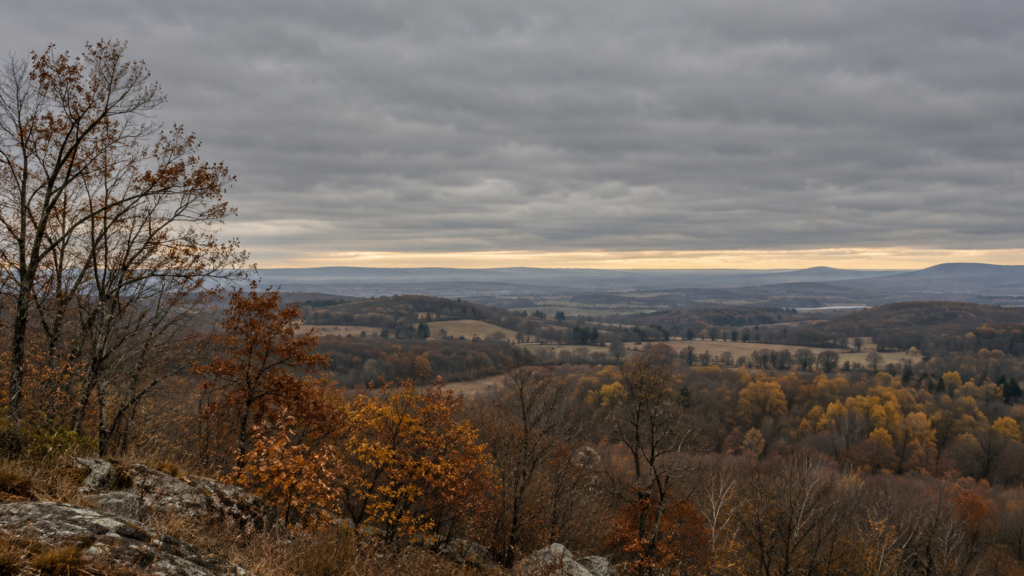
A Seasonal Shift You Can Feel Before You Can Explain It
Sometime around the start of November, many parts of the country settle into a different kind of sky. The deep blue and crisp visibility of early October give way to long stretches of gray, with cloud decks that can linger for days. In much of the Great Lakes region, the Ohio Valley, and the Pacific Northwest, late fall is among the cloudiest times of the entire year. The cause isn’t a single factor but several seasonal changes arriving together.
A More Active Storm Track
The most straightforward driver is the jet stream. As the temperature contrast between the Arctic and the tropics sharpens through autumn, the jet stream strengthens and tends to shift south, steering low-pressure systems and their fronts across the middle latitudes more frequently. Each storm system brings thick, organized cloud cover, and when one follows another every few days, the sky has little chance to clear in between.
In October, those systems are still relatively infrequent. By November, the storm track is busier, and the rhythm of passing fronts becomes a major reason skies stay overcast.
The Sun Loses Its Power to Clear the Sky
On summer days, strong sunshine heats the ground, which warms the air above it and drives rising currents that mix the lower atmosphere. That mixing, along with direct heating, tends to break up and evaporate low clouds during the day.
In November, the sun sits much lower in the sky and days are short. The ground receives less energy, and the daytime heating that would normally disperse low cloud decks is weaker. Clouds that form overnight or arrive with a front can hang on through the entire day because there simply isn’t enough solar energy to break them apart.
Trapped Moisture and Temperature Inversions
Late fall also brings more frequent temperature inversions, situations in which a layer of warmer air sits above cooler air near the surface. Normally, air gets colder as you move upward, which allows moist air near the ground to rise and disperse. An inversion reverses that arrangement and acts like a lid, trapping moisture and any cloud that forms beneath it.
Under an inversion, low stratus clouds can blanket a region for days. Because the air is stable, there’s little vertical motion to mix things out, and the clouds persist until a change in the weather pattern, such as a new front or a shift in wind, finally breaks up the layer.
Long Nights Encourage Low Clouds and Fog
As nights lengthen, the ground has more time to lose heat to space through radiational cooling. When the air near the surface cools to its dew point, water vapor condenses into low cloud or fog. Combined with the weak daytime sun, those low clouds may not burn off until late morning or afternoon, and sometimes not at all.
Lakes and Oceans Add Moisture
Large bodies of water also play a role. In the Great Lakes region, cold air moving over still-warm lake water picks up heat and moisture, producing clouds downwind, the same basic mechanism behind lake-effect snow. Even when the clouds don’t produce much precipitation, they add to the persistent overcast that characterizes the region in late fall.
In the Pacific Northwest, the effect is more direct: the storm track moves back across the Pacific and delivers a steady supply of marine moisture, so cloud and rain become the default as the season turns. The fall shift there marks the start of a long, wet, cloudy stretch rather than an occasional interruption.
Why It Matters Beyond the View
Persistent cloud cover affects more than mood. Overcast skies keep daytime temperatures from climbing much, while clouds at night act like a blanket and can keep lows from dropping as far, which narrows the day-to-night temperature range compared with clear October conditions. Clouds also reduce the sunlight available for solar panels and for plants, and low light can affect sleep and alertness for people sensitive to seasonal changes.
A Predictable Pattern, Not a Mystery
The gray skies of November result from an ordinary combination of seasonal changes: a more active jet stream, a weaker sun, stable air that traps moisture, and long nights that favor low cloud. Understanding the mechanics doesn’t make the gray days any brighter, but it does explain why this stretch of the calendar so reliably delivers them, and why a clear, blue November afternoon feels like such a notable exception when it arrives.