A Storm Whose Nickname Became Part of the English Language
In late October 1991, an extraordinary combination of atmospheric conditions off the northeastern United States coast produced a storm so meteorologically unusual that it earned a nickname—”the Perfect Storm”—that has since become a common English phrase describing any convergence of factors producing an extreme, unlikely outcome. The storm’s true story, and the specific atmospheric conditions that produced it, offers a genuinely fascinating case study in how ordinary weather systems can combine into something far more extreme than any one of them would produce alone.
Three Separate Weather Systems Merged Into One
The Perfect Storm wasn’t a single, conventional storm system—it developed from the unusual interaction of three separate weather features. A powerful nor’easter developed off the northeastern coast, drawing energy from a strong high-pressure system to its north and an unusually intense jet stream pattern. As this nor’easter developed, it absorbed the remnants of what had been a weakening cold front, and then, in the storm’s most unusual twist, it absorbed the energy of a separate, dying hurricane approaching from the south.
This absorption process, sometimes called extratropical transition when it happens in reverse (a hurricane becoming a non-tropical storm), actually intensified the developing nor’easter considerably rather than simply weakening as tropical systems typically do when they lose their warm-core structure. The combined system that resulted drew on energy sources and moisture from multiple separate weather features simultaneously, producing a storm considerably more powerful and long-lasting than any single component would have produced independently.
Waves That Redefined What the North Atlantic Could Produce
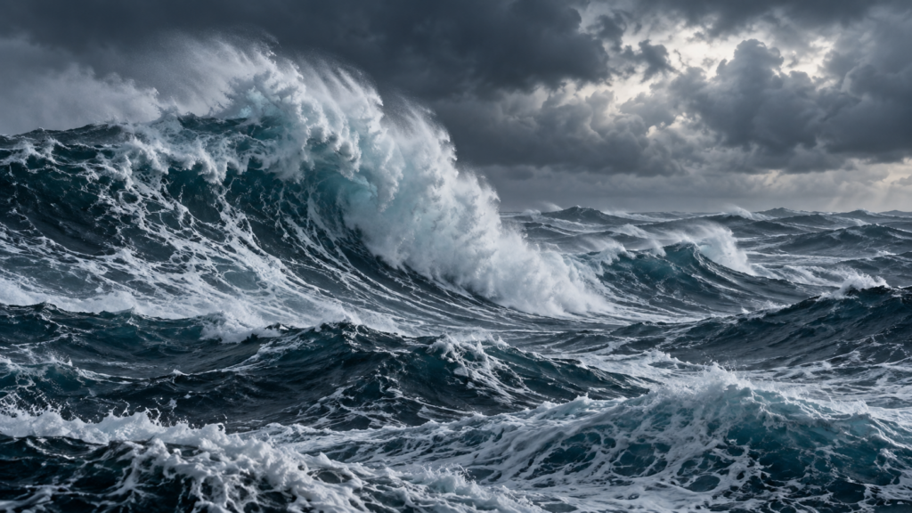
The storm generated extraordinarily large waves across the North Atlantic, with buoy measurements recording individual waves reaching heights of 100 feet in the most extreme areas, among the largest waves ever recorded in the region. This wave activity, combined with the storm’s unusually long duration as it remained nearly stationary off the coast for several days before finally moving away, produced sustained, punishing ocean conditions across a wide area of the North Atlantic fishing grounds.
The Andrea Gail and the Human Cost at Sea
The storm’s most widely known human toll came from the loss of the Andrea Gail, a commercial fishing vessel that disappeared with its entire six-person crew while fishing in the storm’s path, an event later chronicled in a bestselling book and subsequent film that popularized the storm’s “Perfect Storm” nickname for a broader audience well beyond the meteorological community that had originally used the term.
Beyond the Andrea Gail specifically, the storm caused significant additional loss of life and extensive damage across coastal New England and the Canadian Maritimes, with coastal flooding, beach erosion, and property damage extending across a wide swath of the Atlantic coastline as the storm’s effects lingered for several days.
Why This Combination Was Genuinely Rare
Meteorologists who studied the Perfect Storm afterward noted how unusual the specific sequence of events was: the precise timing and positioning required for a developing nor’easter to successfully absorb both a cold front’s remaining energy and a transitioning tropical system’s moisture and energy, all while an unusually favorable upper-level pattern allowed the resulting combined storm to intensify dramatically rather than simply dissipate, represented a genuinely rare confluence of factors. This rarity is part of what has made the storm such an enduring reference point in meteorological discussion, well beyond its cultural fame from the book and film.
What the Storm Taught Meteorologists
The Perfect Storm became an important case study in understanding extratropical transition—the process by which a tropical system loses its warm-core tropical characteristics and merges with or transforms into a mid-latitude storm system. This process, while relatively well understood in general terms before 1991, hadn’t been studied in quite the detail the Perfect Storm’s dramatic and well-documented development allowed, and the storm has since informed subsequent research into how forecasters can better anticipate and communicate risk when a weakening tropical system threatens to merge with and intensify a developing mid-latitude storm, rather than simply weakening and dissipating as tropical systems more typically do once they move away from warm tropical waters.
A Storm That Reshaped How We Talk About Extreme Convergence
More than three decades later, the Perfect Storm’s nickname has taken on a life of its own in popular language, used to describe virtually any situation where multiple unlikely factors combine to produce an extreme outcome, far beyond its original meteorological context. The actual storm behind that now-familiar phrase remains a genuinely remarkable case study in atmospheric science, demonstrating how the interaction between separate, individually unremarkable weather systems can occasionally combine into something considerably more extreme and historically significant than any of its individual components.