A Familiar Climate Pattern Returns
As late fall gives way to early winter, meteorologists are keeping a close eye on La Niña—an ocean-atmosphere pattern that often plays a major role in shaping seasonal weather. While every La Niña event is slightly different, it tends to create recognizable trends across the U.S., from temperature swings to shifts in precipitation.
This year’s La Niña is expected to influence weather through the end of fall and well into the winter months, raising questions about what it could mean for snowfall, cold snaps, and storm tracks across the country.
What La Niña Typically Does to U.S. Weather
La Niña develops when sea surface temperatures in the central and eastern Pacific Ocean are cooler than average. This change affects the position of the jet stream, often pushing it farther north. As a result, the northern tier of the U.S.—including the Pacific Northwest, Great Lakes, and parts of the Northeast—tends to see wetter and cooler conditions.
Meanwhile, the southern U.S. often experiences warmer and drier weather, especially across the Southwest, Gulf Coast, and Southeast. These patterns usually set up during late fall and become more pronounced as winter settles in.
What to Expect Region by Region
In the Pacific Northwest and Northern Plains, La Niña could bring above-average precipitation, including an increased risk of early snow events. This could be good news for building mountain snowpack but may also lead to early-season travel disruptions.
In the Northeast and Great Lakes, conditions may vary, but La Niña often favors a more active storm track with mixed rain and snow events—especially as cold air moves in from Canada.
The Southwest, Deep South, and Southeast may see a continuation of warmer-than-normal temperatures with below-average precipitation. This could prolong drought conditions in some areas and reduce the chances for early-season snowfall.
In California, La Niña tends to bring drier conditions, particularly in the southern part of the state. However, the impact can be less predictable due to local terrain and other atmospheric variables.
Wildcards That Could Shift the Outlook
While La Niña provides a general framework, it’s not the only factor at play. Short-term weather patterns, Arctic cold fronts, and tropical systems can all influence how the season unfolds. Sudden stratospheric warming events or blocking highs over Greenland, for example, can temporarily override typical La Niña effects and bring unexpected cold or snow to areas not typically favored.
Forecasters also note that each La Niña is different in strength and duration. A moderate or weak event may have a less defined impact, while a strong La Niña can create more persistent and exaggerated patterns.
The Big Picture Heading Into Winter
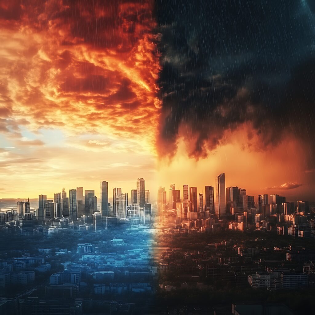
Overall, the late fall to early winter outlook suggests a typical La Niña setup—with cooler, wetter conditions in the North and warmer, drier conditions in the South. Snow lovers in the northern half of the country may have something to look forward to, while those in the South might be in for a slower, milder start to winter.
Of course, outlooks are not guarantees. Staying informed with updated local forecasts is the best way to prepare for whatever La Niña delivers in your region. As always, the transition from fall to winter is full of surprises—and this year will be no exception.


