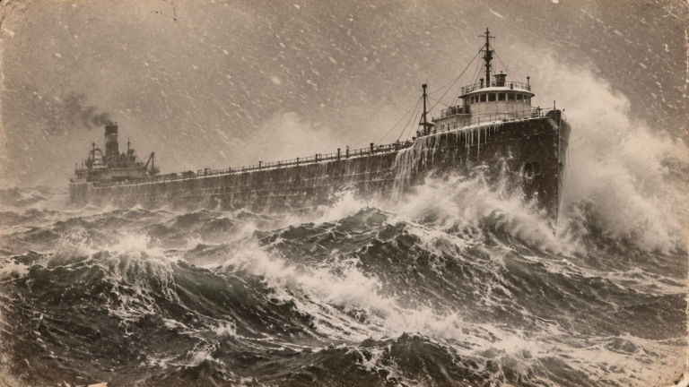
A Typhoon’s Remnants Became the Region’s Most Powerful Storm on Record
On October 12, 1962, a powerful extratropical cyclone—originating from the remnants of Typhoon Freda, which had weakened and transitioned after crossing the Pacific—struck the Pacific Northwest with wind gusts that remain, more than six decades later, the benchmark against which every subsequent regional windstorm is measured. The Columbus Day Storm, as it became known, produced wind gusts exceeding 100 mph at numerous locations across Oregon and Washington, making it one of the most powerful non-tropical windstorms ever recorded in the contiguous United States.
From Typhoon to Powerful Extratropical System
Typhoon Freda had been a significant tropical system in the western Pacific before weakening and losing its tropical characteristics as it moved northeastward over cooler waters. Rather than simply dissipating, as many weakening tropical systems do, Freda’s remnant energy and moisture became absorbed into a developing mid-latitude storm system, a process of extratropical transition similar in concept to what would later produce the 1991 “Perfect Storm” off the Northeast coast, though occurring in a different ocean basin and producing a dramatically different storm profile focused on extreme wind rather than extreme waves.
This transitioning system intensified rapidly as it approached the Pacific Northwest coast, drawing on both the transferred tropical energy and highly favorable atmospheric conditions, including an unusually strong pressure gradient that would ultimately drive the storm’s record-setting winds.
Wind Speeds That Still Stand as Regional Records
The storm produced sustained winds and gusts of extraordinary intensity across a wide area. A wind gust of 179 mph was recorded at Naselle Ridge in Washington state before the instrument itself failed, suggesting the actual peak gust may have exceeded even that remarkable figure. Portland, Oregon, recorded a sustained wind of 69 mph with gusts reaching 116 mph, figures that remain the city’s all-time wind records more than sixty years later.
This kind of sustained, extreme wind intensity across such a wide geographic area was unprecedented for the region, and the storm’s wind field extended across a substantial swath of western Oregon and Washington, affecting both coastal areas directly exposed to the storm and inland areas considerably further from the coast than typical regional windstorms would reach with comparable intensity.
Widespread Destruction Across the Pacific Northwest
The storm’s winds caused catastrophic damage to the region’s extensive forests, with an estimated 11 billion board feet of timber blown down across Oregon and Washington—an amount of timber damage so significant it affected regional lumber markets and forestry operations for years afterward. Entire stands of old-growth and second-growth forest were leveled across wide areas, creating both immediate economic disruption to the timber industry and longer-term ecological effects as the fallen timber dramatically increased wildfire fuel loads in affected forest areas.
Beyond the forest destruction, the storm caused extensive structural damage throughout the region’s cities and towns, downed power lines leaving hundreds of thousands without electricity, and resulted in approximately 46 deaths across the affected region, with many fatalities caused by falling trees and storm debris rather than direct wind exposure itself.
Why This Storm Became the Regional Benchmark
The Columbus Day Storm’s combination of extreme wind intensity, wide geographic reach, and the sheer scale of forest and structural damage it produced established it as the defining reference point for extreme windstorm potential in the Pacific Northwest, a role it has maintained even as subsequent decades have brought other significant regional storms. Meteorologists and emergency planners in the region still reference the Columbus Day Storm specifically when discussing worst-case windstorm scenarios, and its wind speed records at numerous locations have proven remarkably durable, with few if any subsequent storms matching its combination of intensity and areal extent.
What the Storm Revealed About Extratropical Transition
The Columbus Day Storm became an important early case study in understanding how a weakening tropical system’s remnant energy can dramatically intensify an otherwise ordinary mid-latitude storm system when the right atmospheric conditions align, a phenomenon that meteorological understanding has continued refining in the decades since, including through subsequent, better-documented cases like the 1991 Perfect Storm. The storm demonstrated that this kind of tropical-to-extratropical energy transfer could produce extreme wind events in regions, like the Pacific Northwest, not typically associated with tropical storm impact at all, expanding meteorologists’ understanding of where and how this particular storm intensification mechanism could manifest.
A Storm That Still Defines “Worst Case” in the Region
More than sixty years after it struck, the Columbus Day Storm remains the standard against which Pacific Northwest windstorms are measured, a testament to both the storm’s extraordinary intensity and the durability of the wind speed records it established. Its legacy serves as a continuing reminder that even regions not typically associated with extreme wind events can, under the right atmospheric alignment, experience windstorms of genuinely historic proportions.