A Flood That Redrew the Map of the Lower Mississippi
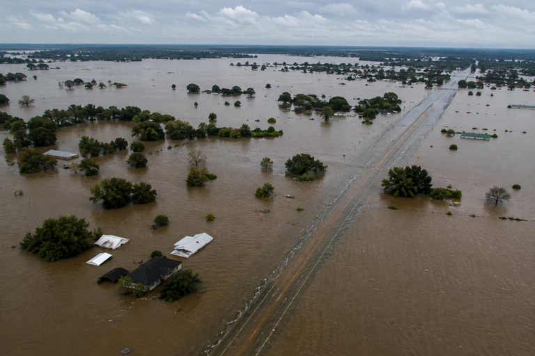
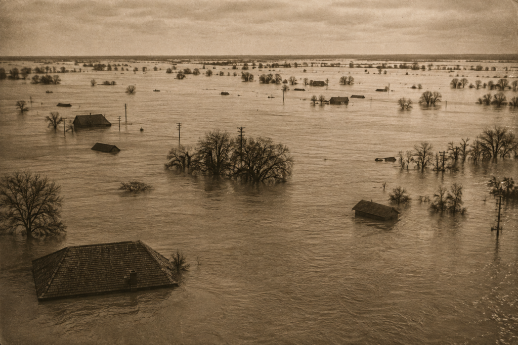
In the spring and summer of 1927, the Mississippi River produced a flood so vast that it remains, nearly a century later, one of the most destructive river floods in American history. At its peak, floodwater covered an area roughly the size of New Jersey and Connecticut combined, displacing over 600,000 people across seven states. Unlike many weather disasters that unfold over hours or days, the 1927 flood developed over months, and its aftermath directly reshaped how the federal government approaches flood control to this day.
Months of Rain Set an Unmanageable Stage
The flood’s origins trace back to an unusually wet fall and winter across the entire Mississippi River watershed, an enormous drainage area covering roughly forty percent of the continental United States. Persistent heavy rainfall throughout late 1926 and into early 1927 saturated soils and filled tributaries across a vast geographic area, meaning that by the time a series of intense spring storms arrived, the river system had almost no remaining capacity to absorb additional water.
A particularly severe storm system in April 1927 delivered torrential rainfall across the lower Mississippi Valley, pushing river levels that were already elevated from months of accumulated precipitation past the breaking point of the levee system that had been built to contain them.
A Levee System Built on a Flawed Philosophy
At the time, flood control policy along the Mississippi was guided by what engineers called the “levees-only” approach: the belief that building walls high and strong enough along the riverbanks could contain any flood without need for additional measures like floodways, spillways, or upstream reservoirs. This approach had been the dominant flood control philosophy for decades, despite warnings from some engineers that it fundamentally misunderstood how a river system of the Mississippi’s scale actually behaved during extreme events.
The 1927 flood exposed the approach’s fatal flaw. As water levels rose beyond what any historical flood had produced, levees failed in more than 145 locations along the river, sometimes with tremendous force—breaches were so violent in some spots that they created craters and sent walls of water surging into surrounding communities with little warning. Once a levee failed in one location, water that had been contained now flowed freely across the land it had previously protected, often flooding areas that hadn’t experienced significant flooding in generations.
A Disaster That Exposed Deep Social Inequities
The flood’s human toll fell disproportionately on Black sharecroppers and tenant farmers throughout the Mississippi Delta, who made up a large share of the agricultural workforce in the flooded region. In numerous documented instances, these communities were forced into inadequate relief camps, denied equal access to aid and evacuation resources compared to white residents, and in some cases compelled into forced labor rebuilding levees under armed guard. The disaster and its deeply unequal response drew national attention to racial inequities in the rural South and became one of several factors that contributed to a significant wave of Black migration out of the Mississippi Delta in the years that followed.
The Federal Response That Changed Everything
In the flood’s aftermath, Congress passed the Flood Control Act of 1928, a landmark piece of legislation that fundamentally restructured the federal government’s role in managing the Mississippi River. The act abandoned the failed levees-only philosophy in favor of a comprehensive system incorporating floodways designed to deliberately divert floodwater away from populated areas during extreme events, along with reservoirs, spillways, and a coordinated, federally managed approach to the entire river system rather than a patchwork of local levee districts each managing their own section independently.
This 1928 legislation established the basic flood control framework that still governs the lower Mississippi today, and it represented one of the first instances of the federal government taking direct, comprehensive responsibility for flood control infrastructure on this scale, a policy shift with implications that extended well beyond the Mississippi to how the country approaches river management more broadly.
Why 1927 Still Matters
The Great Flood of 1927 stands as a pivotal moment in American disaster history, not simply because of its immense scale, but because of how directly it forced a wholesale rethinking of flood control philosophy that had been treated as settled engineering doctrine for decades. The floodways and reservoir systems that protect Mississippi Valley communities today trace their existence directly back to the failures exposed in 1927, making it one of the clearest historical examples of a natural disaster driving genuinely lasting infrastructure and policy change.