A Predictable Curve, Not a Random Spread
Hurricane season runs officially from June through November, but storm activity isn’t distributed evenly across those six months. Statistically, activity builds gradually through summer, accelerates sharply in late August, and reaches its climatological peak around September 10, before tapering off through October and November. This pattern is consistent enough across decades of historical data that meteorologists treat it as a reliable seasonal curve rather than a coincidence, and several converging atmospheric and oceanic factors explain exactly why the timing works out this way.
Ocean Heat Takes All Summer to Peak
Hurricanes draw their energy directly from warm ocean water, and sea surface temperatures across the tropical Atlantic and Caribbean don’t reach their annual maximum until several weeks after the summer solstice, due to the same thermal lag that affects air temperatures on land. Water has a high heat capacity, meaning it absorbs solar energy throughout spring and summer but releases that stored heat back into the atmosphere only gradually.
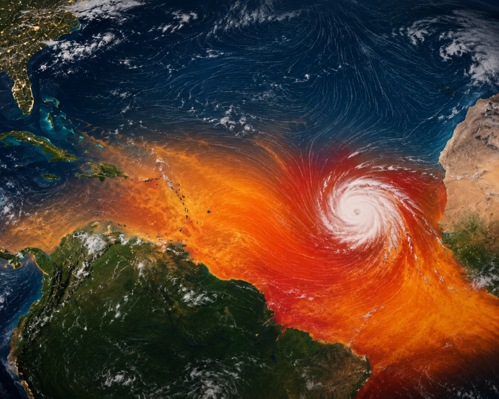
By early-to-mid September, ocean temperatures across the main hurricane development regions have typically reached their warmest point of the year, providing the maximum available fuel for storm development and intensification. This is a primary reason storms forming in September tend to have more energy available to work with than storms forming in June or July, when ocean temperatures, while still warm, haven’t yet reached their seasonal peak.
Wind Shear Drops to Its Yearly Minimum
Wind shear—the change in wind speed and direction with height in the atmosphere—is one of the most significant inhibitors of hurricane formation and intensification. High shear disrupts a developing storm’s structure, tearing apart the organized thunderstorm activity a hurricane needs to maintain its circulation. Shear levels across the tropical Atlantic follow their own seasonal pattern, generally decreasing through the summer and reaching their lowest values in September, creating a more favorable environment for storms to organize and strengthen without the disruptive wind patterns present earlier and later in the season.
This drop in shear coincides directly with the peak in ocean heat, meaning the two most important ingredients for hurricane development—energy availability and an undisturbed atmospheric environment—both reach their most favorable state simultaneously in early-to-mid September.
The Saharan Air Layer Fades
Earlier in hurricane season, particularly June through early August, a layer of dry, dusty air originating over the Sahara Desert frequently moves westward across the tropical Atlantic, a phenomenon known as the Saharan Air Layer. This dry, dust-laden air suppresses thunderstorm development and can meaningfully inhibit the formation of tropical systems, acting as a natural brake on early-season hurricane activity even when ocean temperatures are already fairly warm.
The frequency and intensity of Saharan Air Layer outbreaks typically diminish by late summer, removing one of the atmospheric obstacles that had been limiting storm development earlier in the season and allowing tropical waves moving off the African coast a clearer path toward organizing into tropical storms and hurricanes.
African Easterly Waves Reach Peak Productivity
Many Atlantic hurricanes originate as tropical waves—disturbances in the trade winds—that form over West Africa and move westward across the ocean. These African easterly waves become more frequent and more organized as the West African monsoon strengthens through late summer, providing an increasing supply of disturbances with the potential to develop into tropical systems as they interact with the increasingly favorable ocean and atmospheric conditions described above.
The convergence of a higher frequency of these seed disturbances with the improving oceanic and atmospheric environment is a significant contributor to why September consistently produces the highest number of Atlantic hurricanes of any month.
A System of Converging Favorable Conditions
None of these factors alone would fully explain the sharp seasonal peak hurricane activity displays, but together—warm ocean water at its yearly maximum, wind shear at its yearly minimum, diminished Saharan dust interference, and an increased supply of organized disturbances moving off Africa—they create a genuinely optimal window for tropical development that happens to converge most completely around the second week of September.
What This Means for the Weeks Ahead
Understanding why hurricane season peaks now, rather than treating it as an arbitrary calendar fact, helps explain why late August and September consistently demand the most vigilance from anyone in a hurricane-prone region. The atmospheric and oceanic conditions aren’t just marginally more favorable for storm development during this stretch—they represent the year’s most complete alignment of every major ingredient a hurricane needs, which is exactly why this window has earned its reputation as the most active and closely watched part of the season.