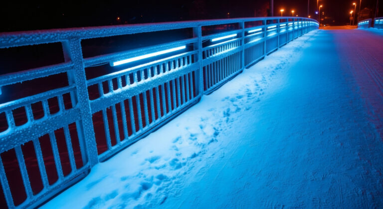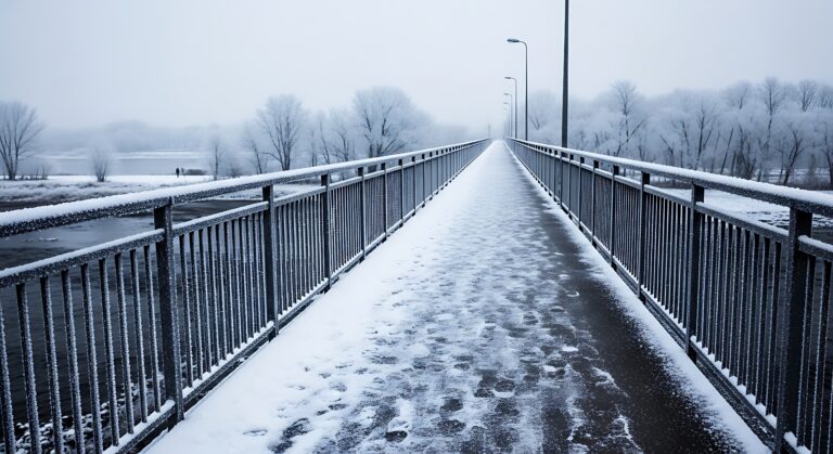
The Bitter Bite of a Windy Day
Check the weather forecast on a winter morning and you might see that the actual temperature is 20°F, but the “feels like” temperature—the wind chill—is listed as 5°F. Step outside and your body immediately confirms what the forecast predicted: the wind makes the cold feel dramatically more severe. Your exposed skin stings, your eyes water, and the cold seems to penetrate through your clothing in ways it doesn’t on calm days at the same temperature.
Wind chill isn’t just a psychological effect or a meteorological trick to make weather sound more dramatic. Wind genuinely makes cold air feel colder to your body, and understanding why requires looking at how your body generates and loses heat, and how moving air accelerates that heat loss in ways that still air doesn’t.
Your Body Constantly Generates Heat
Your body is a heat engine, constantly producing warmth through metabolic processes. Even at rest, your organs, muscles, and cellular processes generate heat as a byproduct of the chemical reactions that keep you alive. This heat maintains your core body temperature at approximately 98.6°F regardless of the outside temperature.
When you’re in cold air, heat continuously flows from your warm body to the colder surrounding environment. This happens through several mechanisms: radiation (infrared heat radiating from your skin), conduction (heat transferring to objects you touch), convection (heat carried away by moving air), and evaporation (heat lost as moisture evaporates from your skin and breath).
Your body replaces this lost heat through ongoing metabolism, but there’s a limit to how quickly you can generate heat. If you’re losing heat faster than you can produce it, your body temperature begins to drop—first at your skin and extremities, and eventually at your core if heat loss continues.
Still Air Creates an Insulating Layer
When air is calm, a thin layer of air surrounds your body and gets warmed by your skin. This boundary layer of warmer air acts as insulation, reducing the rate at which you lose heat to the surrounding colder air. The warmer air molecules near your skin are less effective at pulling heat away from you than the colder air molecules farther away.
Think of this boundary layer as a personal microclimate—a buffer zone where air temperature is somewhere between your body temperature and the ambient air temperature. As long as this layer remains relatively undisturbed, it provides some protection against heat loss.
Your clothing enhances this effect by trapping additional layers of air that your body can warm. Multiple thin layers of clothing work better than a single thick layer because they create multiple pockets of trapped air, each serving as an insulating barrier.
Wind Strips Away the Protective Layer
When wind blows, it constantly replaces the warmer air near your skin with fresh cold air from the surrounding environment. The protective boundary layer can’t form or is continuously disrupted. Your body warms the air immediately adjacent to your skin, but before that warmth can provide any insulating benefit, the wind sweeps it away and replaces it with more cold air that needs to be warmed.
This creates a cycle of continuous heat loss. Your skin warms air, wind removes it, more cold air contacts your skin, your skin warms that air, wind removes it again—on and on. The faster the wind speed, the more rapidly this cycle repeats, and the faster you lose heat.
The result is that your body loses heat much more quickly on a windy day than on a calm day at the same temperature. Your skin temperature drops more, your body has to work harder to generate replacement heat, and you feel colder.
Wind Chill Measures the Rate of Heat Loss
The wind chill index is designed to quantify this effect by expressing how cold the air feels to exposed human skin based on the combination of temperature and wind speed. It answers the question: “This windy day at 20°F feels as cold as what temperature would feel on a calm day?”
The index is based on heat transfer models that calculate how quickly exposed skin loses heat under different combinations of temperature and wind. A wind chill of 5°F means that you’re losing heat from exposed skin at the same rate you would on a calm day when the temperature is 5°F—even though the actual air temperature is 20°F.
Wind chill only applies to exposed skin and other surfaces that can be cooled by the wind. It doesn’t affect inanimate objects the same way because they don’t generate heat. A thermometer on a windy day will still read the actual air temperature, not the wind chill temperature, because the thermometer isn’t producing heat that wind can strip away more efficiently.
Wind Speed Matters, But With Diminishing Returns
The relationship between wind speed and wind chill isn’t linear. Going from calm conditions to 5 mph wind produces a dramatic increase in heat loss and a significant drop in wind chill. But increasing wind from 30 mph to 35 mph produces much less additional effect.
This happens because once wind is strong enough to completely disrupt the boundary layer and maximize convective heat transfer, further increases in wind speed don’t remove heat much more efficiently. There’s a practical limit to how fast wind can strip heat away from your body.
Most wind chill calculations show the largest effects between 0 and 20 mph wind, with diminishing returns above that. Very high winds (40+ mph) don’t feel dramatically colder than moderately strong winds (25-30 mph) at the same temperature because both are already maximizing the rate of convective heat loss.
Temperature and Wind Combine Nonlinearly
The impact of wind increases at lower temperatures. A 15 mph wind at 30°F might lower the wind chill by about 10 degrees. That same 15 mph wind at 0°F might lower the wind chill by 15-20 degrees. This happens because the greater temperature difference between your skin and the ambient air creates a steeper temperature gradient, making heat transfer more efficient when the boundary layer is disrupted.
This is why wind chill becomes especially important in extreme cold. A moderately windy day at 20°F might be uncomfortable but manageable. A windy day at -10°F can create wind chills of -30°F or lower—conditions that can cause frostbite on exposed skin within minutes.
Wind Penetrates Clothing
Wind doesn’t just affect exposed skin—it also reduces the effectiveness of your clothing. Wind penetrates through fabrics, especially loosely woven materials, disturbing the trapped air that provides insulation. The wind moves through your clothing layers, stripping away warmed air and replacing it with cold air.
This is why windproof outer layers are crucial in cold, windy conditions. A windproof jacket or pants prevent wind from penetrating to inner layers, allowing the air trapped by your clothing to remain relatively still and retain its insulating properties. Even a thin windproof shell over insulating layers can dramatically improve warmth by blocking convective heat loss.
Conversely, a heavy wool sweater worn as an outer layer without a windproof shell can feel surprisingly cold on a windy day because wind moves through the knit fabric and strips away the warmed air within and around the fibers.
Moisture Makes Wind Chill Worse
If your skin or clothing is wet or damp, wind chill becomes even more severe. Water conducts heat away from your body much more efficiently than air does—about 25 times more efficiently. When wind blows across wet skin or damp clothing, it accelerates evaporation, which requires large amounts of heat and creates additional cooling.
This is why getting wet in cold, windy conditions is so dangerous. Your clothing loses most of its insulating value when saturated with water, wind strips heat away rapidly through both convection and enhanced evaporation, and hypothermia can develop quickly even at temperatures well above freezing.
This principle is also why “sweat-wicking” fabrics are important for winter activities. These materials move moisture away from your skin to outer layers where it can evaporate without cooling your body as severely, and they dry quickly if you stop sweating.
Your Face and Hands Are Most Vulnerable
Wind chill affects different parts of your body unequally. Your face, ears, nose, and hands are particularly vulnerable because they’re often exposed and have high surface-area-to-volume ratios, making them prone to rapid heat loss.
These areas also have limited fat insulation and, in the case of hands and ears, relatively poor blood circulation compared to core areas. When wind chill is severe, frostbite occurs first on these exposed extremities where heat loss is fastest and the body’s warming mechanisms are least effective.
This is why winter weather warnings emphasize covering exposed skin when wind chills are extreme. A scarf or neck gaiter over your face, a hat covering your ears, and gloves or mittens on your hands can prevent frostbite even in conditions that would cause tissue damage to unprotected skin within minutes.
Animals Experience Wind Chill Too
Any warm-blooded animal that maintains body temperature through metabolism experiences wind chill. Livestock, pets, and wildlife all lose heat more rapidly in windy conditions, just as humans do.
Animals with thick fur coats are somewhat protected because their fur traps insulating air, but even dense fur provides less protection when wind penetrates to the skin. This is why cattle often turn their backs to the wind and seek shelter during winter storms, and why outdoor pets need windproof shelters, not just insulated ones.
Birds fluff their feathers to trap more air for insulation, but strong winds can compress their plumage and strip away the protective air layer, forcing them to burn more energy to maintain body temperature.
Wind Chill Doesn’t Freeze Water Faster
An important limitation of wind chill: it only describes how cold the air feels to living things generating heat. Wind chill cannot make water freeze at temperatures above 32°F, and it doesn’t make inanimate objects colder than the actual air temperature.
A bucket of water sitting outside won’t freeze any faster on a windy day than on a calm day at the same temperature (though it might evaporate faster). Wind can only cool an object to the ambient air temperature, not below it. Wind chill describes the enhanced cooling of warm objects losing heat, not the cooling of objects that are already at air temperature.
This is why your car’s engine coolant won’t freeze from wind chill, and why outdoor thermometers display actual air temperature regardless of wind. Only objects that are warmer than the surrounding air experience the accelerated heat loss that wind chill quantifies.
Historical Development of Wind Chill Calculations
The wind chill concept was developed in the 1940s by Antarctic researchers who needed to understand how wind affected cold exposure risk. Early formulas were refined over decades, with the current wind chill formula adopted in 2001 based on improved understanding of heat transfer and human physiology.
The modern formula accounts for heat loss from facial skin—the most exposed area on a typical person—at a walking pace in open terrain. It’s designed to provide practical guidance for assessing cold weather danger rather than a precise calculation of heat loss from every body part under every possible condition.
The Real Impact of Wind on Winter Safety
Understanding wind chill helps you make better decisions about winter safety. A day forecast at 15°F with 20 mph winds (wind chill around -5°F) requires more preparation and caution than a calm day at 15°F. Exposed skin needs covering, outdoor time should be limited, and activities need to be adjusted.
Wind chill warnings from weather services indicate conditions where frostbite can occur rapidly on exposed skin—typically when wind chill drops below -20°F to -25°F. These aren’t arbitrary thresholds but reflect real physiological limits on how much heat loss exposed skin can tolerate before tissue damage begins.
The next time you bundle up against a cold, windy day, remember you’re not being overly cautious—you’re responding to a genuine physical phenomenon. The wind is literally stripping away your body’s protective buffer of warm air, forcing your skin to lose heat at rates that calm conditions wouldn’t create. That wind chill number on the forecast isn’t just making winter sound more dramatic; it’s telling you how quickly the combination of cold and wind can steal heat from your body, and warning you to take appropriate precautions before heading outside.