A Storm That Defied Expectations
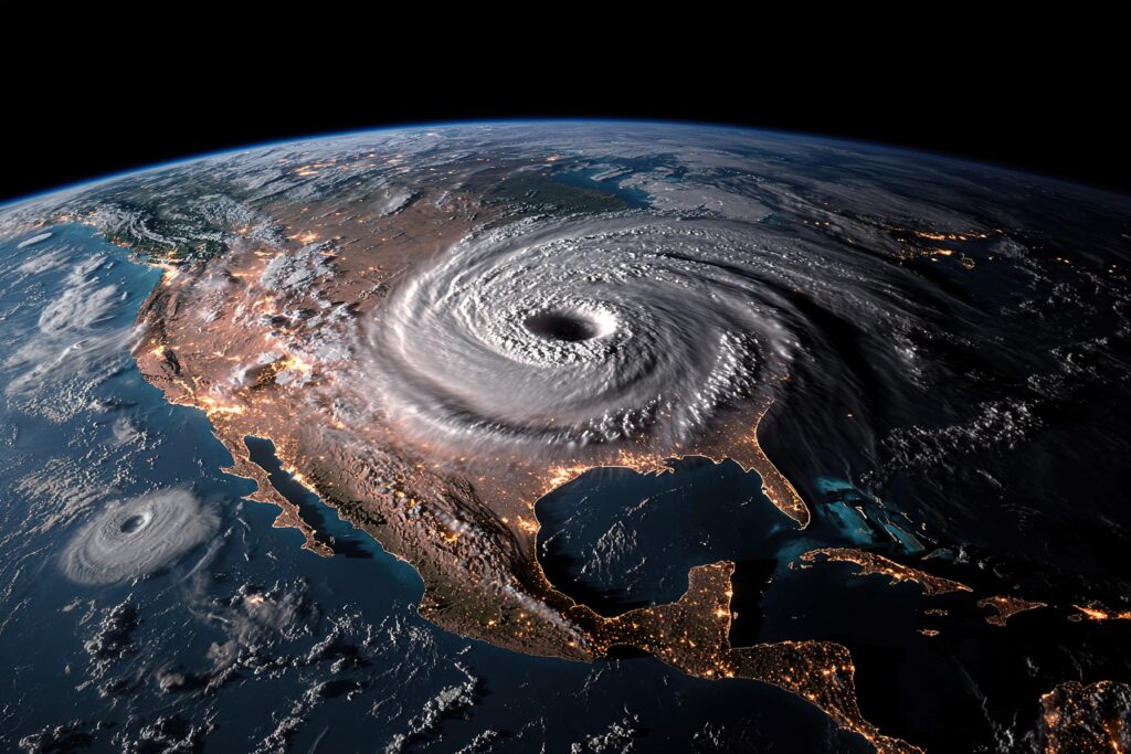
When Hurricane Helene formed in the Atlantic, early forecasts suggested it would be a relatively routine storm. But as it developed, Helene proved to be anything but predictable. Now, with the release of its final report, meteorologists and emergency officials are taking a closer look at just how unusual this hurricane really was. From unexpected intensification to surprising impacts, Hurricane Helene delivered several shocks that defied normal hurricane behavior.
Rapid Intensification Took Forecasters by Surprise
One of the most unexpected findings in the report was the speed at which Helene intensified. In less than 24 hours, the storm jumped from a tropical storm to a strong Category 2 hurricane—something forecasters did not anticipate based on initial model guidance. The report notes that unusually warm sea surface temperatures and low wind shear created a near-perfect environment for rapid strengthening.
This kind of rapid intensification is becoming more common, and Hurricane Helene is the latest example of how quickly a storm can go from relatively harmless to extremely dangerous. The short window of time between Helene’s formation and its peak strength left little room for preparation, raising concerns about future storms following a similar path.
The Storm’s Track Defied Forecast Models
Another shocking element was Helene’s unusual path. Most models initially projected the storm to curve out to sea, but instead, it drifted closer to the coastline than expected, prompting last-minute watches and warnings. While Helene ultimately didn’t make landfall, its outer bands brought strong winds and heavy rain to several coastal communities that had not been bracing for a close encounter.
The report highlights how slight shifts in high-pressure systems and steering currents led to Helene’s track deviation. It serves as a reminder of how fragile storm forecasts can be—even with modern technology—especially several days out.
Stronger Winds at Higher Altitudes
The final report also noted an unusual vertical wind profile within the storm. While surface winds remained within Category 2 levels, aircraft reconnaissance data revealed that winds just above the surface were significantly stronger than expected. This kind of wind structure, while rare, can result in localized pockets of extreme damage even when the storm’s category doesn’t seem especially threatening.
These findings suggest that standard surface-based wind readings may not always give a complete picture of a storm’s destructive potential, particularly in heavily built-up or elevated areas.
Helene’s Impact on Marine Life and Ocean Conditions
Beyond its meteorological surprises, Hurricane Helene also left a noticeable mark on the ocean itself. Post-storm analysis showed that Helene caused significant upwelling—pulling colder, nutrient-rich water from deeper layers to the surface. This shift in ocean temperature not only disrupted marine life along parts of the Atlantic but also weakened other tropical systems forming behind it.
While this kind of ocean disruption is not unheard of, the extent and duration caused by Helene were unexpected. Scientists are now studying how this type of storm-induced ocean activity might influence future hurricane development in the same region.
A Reminder That Storms Are Changing
In many ways, Hurricane Helene’s final report is a case study in unpredictability. From its rapid intensification to its unusual wind profile and impact on ocean systems, Helene challenged conventional forecasting and reminded us that even well-tracked storms can surprise us.
As climate patterns shift and ocean temperatures rise, meteorologists expect more storms like Helene—storms that don’t follow the rules and require faster, more flexible responses from both scientists and emergency management teams. The lessons from Helene’s report highlight the growing need to adapt not only our forecasting tools but also our preparedness strategies for a future where no storm can be taken lightly.


