The Tool That Changed Everything About Severe Weather Safety
Every tornado warning you’ve ever received was issued because a meteorologist looked at a radar display and saw something specific: a rotating signature inside a thunderstorm, a hook echo curling around a circulation, a velocity couplet indicating wind moving toward the radar from one direction and away from it in an adjacent slice of the same storm. Doppler radar is the technology that makes those detections possible, and it is not an exaggeration to say it has saved thousands of lives since the national network came online in the 1990s.
This series has referenced the Doppler radar revolution repeatedly — in the context of the 1925 Tri-State Tornado, the 1965 Palm Sunday Outbreak, the 1985 Pennsylvania outbreak — always as the turning point that separated the era of near-zero warning from the era of meaningful lead time. May, the peak of tornado season, is the right moment to explain how it actually works.
What Radar Does: The Basic Principle
Radar — the word is an acronym for Radio Detection And Ranging — works by sending out pulses of microwave energy and detecting what bounces back. The fundamental principle is simple: transmit a pulse of energy, wait for a return signal, and use the time elapsed and the characteristics of the return to determine where objects are and what they’re doing.
A radar antenna rotates continuously, sweeping through 360 degrees while transmitting pulses of microwave energy outward in a narrow beam. When that energy encounters precipitation — raindrops, snowflakes, hailstones — a portion of it scatters back toward the antenna. The radar measures the strength of that return signal, which corresponds to the intensity of the precipitation, and the time elapsed between transmission and return, which corresponds to the distance of the precipitation from the radar site.
By sweeping through multiple elevation angles — tilting the beam from nearly horizontal to steeply upward — the radar builds a three-dimensional picture of precipitation across a volume of atmosphere extending hundreds of miles in all directions. The familiar radar images you see on weather apps are horizontal slices through this three-dimensional data, color-coded by precipitation intensity.
This basic capability — detecting precipitation location and intensity — was available with conventional radar beginning in the 1950s. It was useful but limited. It could show where rain was falling and roughly how hard, but it couldn’t see inside storms. It couldn’t detect rotation. It couldn’t distinguish a tornado-producing supercell from an ordinary thunderstorm.
What Makes Doppler Radar Different
The revolutionary addition of the modern NEXRAD system is the Doppler capability — the ability to measure not just where precipitation is but how fast it is moving toward or away from the radar.
The Doppler effect is the same phenomenon that makes a passing ambulance’s siren change pitch as it moves toward and then away from you. When the ambulance approaches, sound waves are compressed — more wave cycles reach your ear per second, which your brain perceives as a higher pitch. When it moves away, waves are stretched — fewer cycles per second, lower perceived pitch. The change in pitch is directly related to the speed of movement.
Doppler radar applies this principle to microwave energy. When precipitation is moving toward the radar, the returning pulses are slightly compressed — higher frequency. When precipitation is moving away, pulses are stretched — lower frequency. By measuring the frequency shift in returning signals, the radar can calculate the radial velocity of precipitation — how fast it is moving along the line between the precipitation and the radar antenna.
This velocity information is what transformed severe weather forecasting. Rotation inside a thunderstorm — the mesocyclone that produces tornadoes — appears on Doppler velocity displays as a distinctive signature: precipitation moving toward the radar on one side of the circulation and away from it on the adjacent side, simultaneously, in the same small area of the storm. This velocity couplet, as it’s called, is visible on radar 10 to 30 minutes before a tornado touches the ground, providing the lead time that previous generations of meteorologists simply didn’t have.
The NEXRAD Network
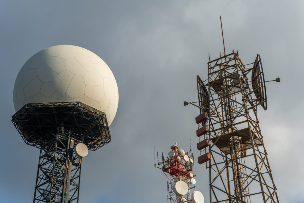
The United States Weather Surveillance Radar network — known as NEXRAD, for Next Generation Radar — consists of 160 WSR-88D radar units positioned across the contiguous United States, Alaska, Hawaii, Puerto Rico, and several overseas military installations. The spacing of the network is designed so that every point in the contiguous United States is within range of at least one radar, with most populated areas covered by multiple overlapping radars.
Each WSR-88D transmits pulses of microwave energy at a wavelength of 10 centimeters — selected to be sensitive to rain and hail while not being overwhelmed by returns from clear-air turbulence or insects. The antenna completes a full volume scan — multiple elevation sweeps — every 4 to 6 minutes, updating the three-dimensional picture of the atmosphere regularly enough to track rapidly developing storm features.
The full network came online in the mid-1990s, completing a deployment that had begun in the late 1980s. The before-and-after comparison in tornado warning lead times is dramatic: in the pre-NEXRAD era, the average tornado warning lead time was essentially zero — warnings were issued based on visual confirmation of a tornado already on the ground. After NEXRAD deployment, average lead time grew to approximately 13 minutes, with well-organized supercells sometimes providing 20 to 40 minutes of warning time as their rotation becomes detectable on radar before tornado touchdown.
Dual-Polarization: The Latest Upgrade
The original NEXRAD network has been upgraded twice since its initial deployment, with the most significant enhancement being the addition of dual-polarization capability, completed across the network in 2013.
Conventional radar transmits and receives energy in a single polarization — horizontal. Dual-polarization radar transmits and receives energy in both horizontal and vertical polarizations simultaneously, comparing the returns in both planes to extract information about the shape, size, and type of precipitation targets.
Precipitation particles of different types have characteristic shapes. Raindrops are oblate — wider than they are tall — and return stronger horizontal signals relative to vertical. Hailstones tumble chaotically and return more equal horizontal and vertical signals. Ice crystals are elongated and return strong horizontal or vertical signals depending on their orientation. By comparing horizontal and vertical returns, dual-polarization radar can classify precipitation type — distinguishing rain from snow from hail from ice pellets — with remarkable accuracy.
For severe weather, dual-polarization adds the ability to detect the tornado debris signature: the chaotic mixture of irregular objects lofted by a tornado produces a specific dual-polarization return that is definitively different from precipitation alone. When a meteorologist sees both a strong velocity couplet and a debris signature in the same location, they can confirm a tornado is on the ground with high confidence, even in rain-wrapped storms where visual confirmation from spotters is impossible.
What the Colors Mean
Weather radar imagery has become ubiquitous on apps and television, but the color scales used to display the data carry specific meaning that’s worth understanding.
On reflectivity displays — the precipitation intensity images — colors run from blues and greens (light precipitation) through yellows and oranges (moderate to heavy rain) to reds and purples (very heavy rain or hail). The deep reds and purples that indicate the strongest returns in a thunderstorm’s core often correspond to large hail, which returns radar energy very efficiently due to its size and the liquid water coating that often surrounds hailstones.
On velocity displays — which show the Doppler wind information — the color scale typically runs from warm colors (reds and oranges, indicating motion away from the radar) to cool colors (greens and blues, indicating motion toward the radar). The rotation signature that indicates a mesocyclone appears as adjacent areas of strong inbound and outbound velocities — a green-blue patch immediately adjacent to a red-orange patch, indicating air spinning tightly within the storm.
The hook echo — the distinctive comma or hook shape visible on reflectivity displays from supercell thunderstorms — forms because the rotating updraft wraps precipitation around the storm’s circulation. While the hook echo is a well-known tornado indicator, it’s the velocity data, not the reflectivity shape, that provides the most reliable indication of rotation and the basis for tornado warnings.
The Tool Behind the Warning
The next time a tornado warning sounds on your phone, the technology behind it is a 160-unit network of Doppler radar systems scanning the atmosphere every five minutes, staffed by meteorologists watching velocity displays for the rotation signatures that indicate a developing tornado — all of it developed in response to decades of tornado disasters in which warnings came too late or not at all.
The 13-minute average lead time that modern warnings provide is the product of that technology, that network, and the meteorologists trained to interpret what it shows. It isn’t always enough — no warning system eliminates all casualties. But it is immeasurably better than the zero-minute warnings of the pre-radar era, and it represents one of the most consequential applications of atmospheric science in the history of weather forecasting.