It’s Not Just About the Category Number
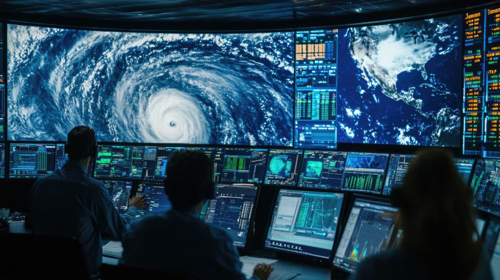
When a hurricane is approaching, most people focus on one thing: its category. While the Saffir-Simpson scale helps indicate the strength of a hurricane’s sustained wind speeds, it doesn’t tell the full story. One crucial—and often misunderstood—factor is the size of the storm’s wind field.
A hurricane’s size determines how far its winds, rain, and storm surge can reach. That means a lower-category storm with a very large wind field can cause more widespread damage than a compact Category 4 that only affects a small area. In other words, Category 1 doesn’t always mean “mild,” and Category 5 doesn’t always mean “worst” for everyone in the path.
What Is a Wind Field—and Why Does It Matter?
The wind field of a hurricane refers to the area over which its winds extend—particularly the strongest ones. It includes the reach of tropical-storm-force winds (39+ mph) and hurricane-force winds (74+ mph). Some storms have hurricane-force winds that stretch only 30 miles from the center, while others can extend over 100 miles.
The size of the wind field affects more than just wind damage. A larger storm churns the ocean over a wider area, leading to more dangerous storm surge, higher and longer-lasting waves, and heavier rainfall spread across hundreds of miles.
Big Storms, Big Impact
One prime example is Hurricane Sandy (2012). Though it was only a Category 1 at landfall, Sandy had a massive wind field that stretched over 900 miles across. The storm’s sheer size pushed a devastating storm surge into the New Jersey and New York coastlines and caused over $70 billion in damage.
In contrast, Hurricane Charley (2004) was a powerful Category 4 but was much smaller in size. Its damage path was narrower and more intense near the center but didn’t affect as broad an area.
This shows that intensity and size don’t always go hand in hand, and both must be considered to understand the true risk.
Larger Storms Are Slower to Weaken
Another issue with large hurricanes is that they often take longer to weaken after landfall. Their broad circulation allows them to keep pulling in moisture and energy, which can lead to extended periods of strong wind and rain even after moving inland.
This can increase the risk of prolonged power outages, inland flooding, and wind damage in places that might not expect it—especially in cities far from the coastline.
What to Look For in Storm Forecasts
When tracking hurricanes, it’s important to look beyond the category. Check forecasts and discussions for details about the storm’s size, wind radius, rainfall potential, and storm surge outlook. These factors give a more complete picture of how widespread the impacts may be.
Meteorologists now stress that focusing only on the category number can lead to dangerous misunderstandings. A “weaker” hurricane may still knock out power for days, flood roads, and cause billions in damage if it’s large enough or slow-moving.
Size + Strength = Real Risk
Understanding hurricane risk means looking at the full picture: the storm’s size, speed, direction, and intensity. Size influences how many people will feel the effects, how large the evacuation zone might be, and how long the recovery could take.
The bottom line? Don’t underestimate a storm just because it’s a lower category. If it’s big, slow, or headed your way, the impacts can still be serious. When hurricanes grow in size, so do the risks—no matter what number is attached to them.


