Not Just a Buzzword—They’re Real and Can Be Dangerous
You’ve likely heard the term “atmospheric river” tossed around during winter storms—especially in the West. And while it may sound like a flashy headline, it’s not just meteorological jargon. Atmospheric rivers are very real, very powerful, and play a major role in winter weather patterns, particularly in regions like California and the Pacific Northwest.
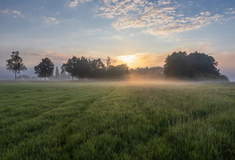
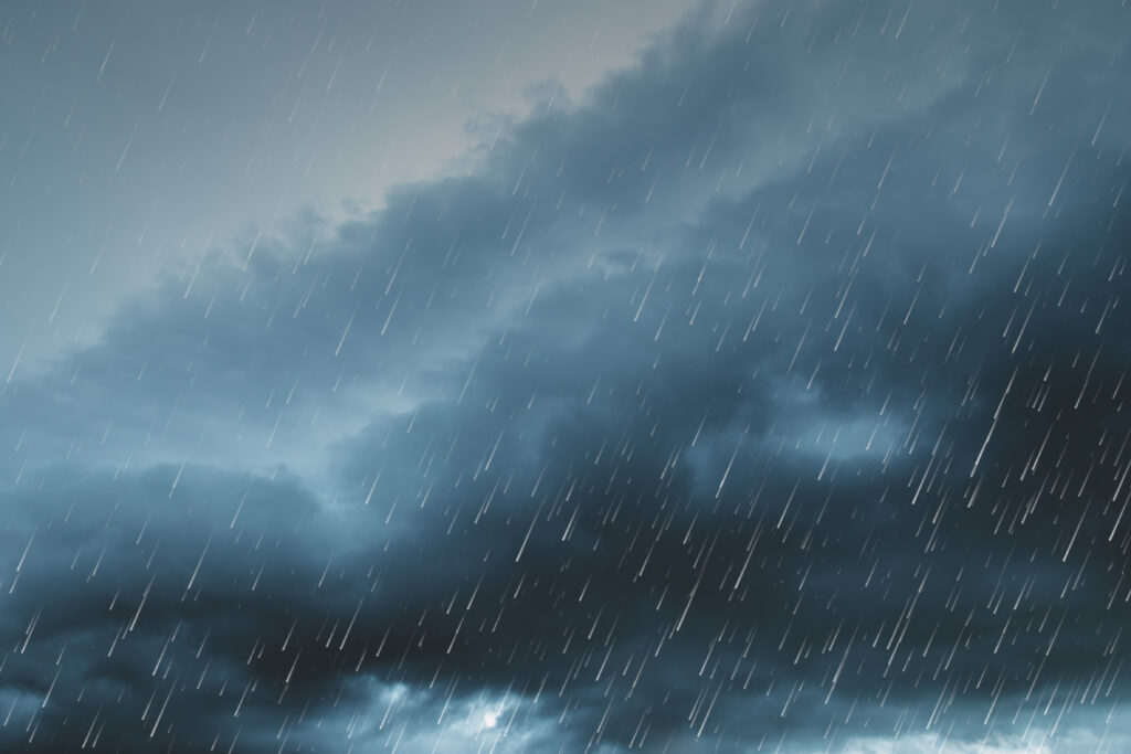
These narrow bands of moisture in the atmosphere can stretch for hundreds—even thousands—of miles. When they reach land, they release that moisture as heavy rain or snow, often leading to flooding, mudslides, and other serious impacts.
What Exactly Is an Atmospheric River?
An atmospheric river is a concentrated stream of water vapor moving through the sky, typically between 2,000 and 5,000 miles long and only a few hundred miles wide. Think of it as a firehose of moisture aimed at the coast. When this vapor-laden air is forced upward by mountains or other terrain, it cools and condenses, dumping intense precipitation.
These systems are responsible for much of the rainfall—and snowfall—in the western U.S. In fact, just a handful of atmospheric river events each year can deliver more than half of California’s annual precipitation.
Why You Hear About Them More in Winter
Atmospheric rivers can occur any time of year, but they’re most common and most intense in the winter months. That’s when Pacific storms are strongest and ocean temperatures support high volumes of evaporated moisture.
Wintertime atmospheric rivers can lead to both beneficial water supply boosts and dangerous conditions. One event might replenish reservoirs and snowpack; the next could trigger flash floods or debris flows, especially in areas recently affected by wildfires.
Not All Atmospheric Rivers Are Created Equal
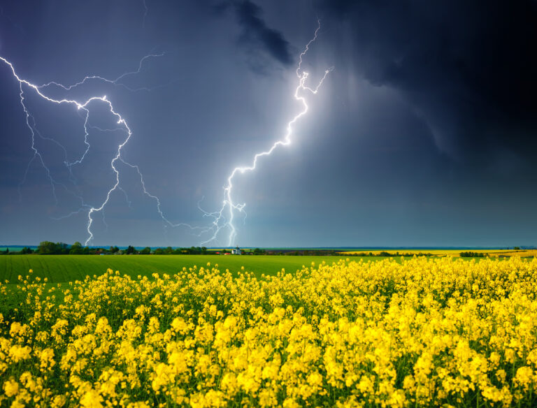
Some atmospheric rivers are weak and barely noticeable. Others are incredibly intense and have names like “Pineapple Express,” referring to moisture sourced from the tropical Pacific near Hawaii. These can bring days of relentless rain and wind, with serious consequences for infrastructure, travel, and public safety.
Meteorologists now use a ranking scale—from Category 1 (weak) to Category 5 (exceptional)—to describe the intensity and impact potential of an atmospheric river.
A Critical Part of the Water Cycle—But Increasingly Volatile
While atmospheric rivers are natural and vital to the water supply in the western U.S., climate change is altering their behavior. Warmer oceans and a more energetic atmosphere mean these systems may become more frequent, more intense, and more likely to cause extreme rainfall and flooding.
At the same time, longer dry stretches between events may worsen drought conditions—making the timing and severity of these storms even more critical to monitor.
Don’t Dismiss the Term—Stay Alert When You Hear It
So the next time you hear “atmospheric river” in a forecast, know it’s not just a trendy phrase—it’s a signal that a significant weather system may be headed your way.
Whether it brings much-needed water or dangerous flooding depends on its strength, duration, and where it hits. Either way, it’s a term worth paying attention to—especially when the skies open up in the heart of winter.