The Localized Winter Phenomenon That Creates Extreme Snowfall Differences
Drive through the Great Lakes region during winter and you might encounter a bizarre weather divide: one town buried under two feet of snow while a community just 10 miles away has barely a dusting. This dramatic localization is the hallmark of lake-effect snow, a unique winter weather phenomenon that can dump incredible amounts of snow in narrow bands while leaving nearby areas almost untouched. Understanding how lake-effect snow works explains why some locations routinely measure snowfall in feet while their neighbors shovel inches.
How Lake-Effect Snow Forms
Lake-effect snow requires a specific set of conditions that occur most commonly around the Great Lakes but can happen near any large body of relatively warm water:
Cold air moves over warm water. When frigid Arctic air—typically with temperatures well below freezing—blows across a lake with water temperatures still in the 40s or 50s, dramatic temperature contrasts develop. The lake is often 40-50°F warmer than the air passing over it.
The air rapidly warms and gains moisture. As cold air moves across the warmer lake surface, the lowest layer of air heats up and absorbs moisture evaporating from the water. This creates instability—warm, moist air at the surface with cold air aloft—which drives powerful upward motion.
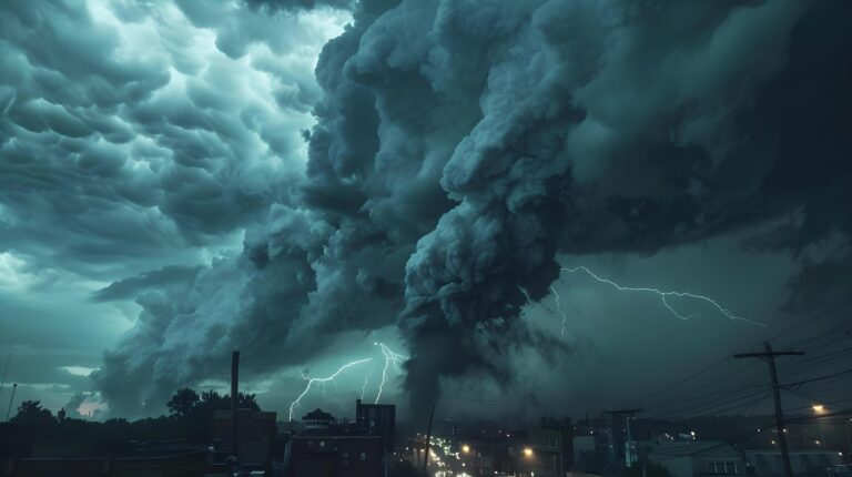
Clouds form and intensify quickly. Rising moist air condenses into clouds that can develop into towering convective snow showers. These clouds are often visible on satellite imagery as dramatic streamers stretching downwind from the lakes.
Snow falls heavily downwind. When these moisture-loaded clouds reach the downwind shore and encounter colder land surfaces or rising terrain, they release their moisture as snow. Snowfall rates can reach 2-4 inches per hour or even higher in the most intense bands.
Why Location Matters So Much
Lake-effect snow is extremely localized because it depends on wind direction and the fetch—the distance wind travels over water:
Wind direction determines who gets hit. A north wind off Lake Erie dumps snow on the southern shore in Ohio and Pennsylvania. A west wind off Lake Michigan buries western Michigan. Small shifts in wind direction move snow bands miles to the left or right, completely changing which communities get hammered.
Longer fetch means more snow. When wind blows along the longest axis of a lake, air spends more time over water, absorbing more moisture and heat. This creates the most intense lake-effect snow bands. Short fetches produce lighter, less organized snow.
Topography focuses the snow. Even modest hills downwind of lakes can enhance lake-effect snow dramatically. As air rises over elevated terrain, it cools further and squeezes out additional moisture. Towns at slightly higher elevations often receive significantly more snow than lakeside locations.
Narrow bands create sharp boundaries. Lake-effect snow often falls in bands just 10-30 miles wide. Inside the band, visibility drops to near zero and snow piles up rapidly. A few miles outside the band, skies might be partly cloudy with little or no precipitation.
The Great Lakes Snow Machine
The Great Lakes—Superior, Michigan, Huron, Erie, and Ontario—create the most prolific lake-effect snow in the world:
Buffalo and Watertown, New York regularly receive 90-100+ inches of snow annually from Lake Erie and Lake Ontario, with individual storms sometimes dumping 3-6 feet in 24-48 hours.
The Upper Peninsula of Michigan gets buried by Lake Superior lake-effect, with some areas averaging over 200 inches per season.
Western Michigan communities like Muskegon and Grand Rapids see frequent lake-effect from Lake Michigan, though amounts vary dramatically based on exact location.
Eastern shores of all five lakes experience regular lake-effect events whenever cold air flows from the northwest through northeast.
The lakes’ size—some over 300 miles long—allows extended fetch distances that maximize moisture pickup. Their depth means they stay relatively warm well into winter, maintaining temperature contrasts that fuel lake-effect into January and February.
Extreme Snowfall Rates and Totals
Lake-effect snow can produce staggering accumulations:
November 2014 Buffalo snowstorm dropped over 7 feet of snow in some neighborhoods in just three days. Some locations measured 5 feet in 24 hours—one of the most extreme snowfall events ever recorded in the United States.
Snowfall rates of 3-5 inches per hour occur in the most intense lake-effect bands, creating whiteout conditions and rapid accumulation that overwhelms snow removal efforts.
Multi-day events can produce crushing snowfall totals as persistent wind direction keeps snow bands locked over the same areas. Some lake-effect events last 48-72 hours, burying locations under 4-5 feet or more.
Thundersnow often occurs within intense lake-effect snow bands, with lightning and thunder accompanying heavy snow—a sign of extreme atmospheric instability and intense snowfall rates.
When Lake-Effect Snow Happens
Lake-effect snow has a distinct season tied to lake water temperatures:
Peak season is November through January. Early winter provides the greatest temperature contrast between still-warm lake water and increasingly cold Arctic air masses. This combination produces the most intense lake-effect events.
It diminishes as lakes freeze over. Once ice covers significant portions of lakes, the water can no longer transfer heat and moisture to passing air masses. Lake-effect snow becomes much less common, though it can still occur over open water areas.
It can start as early as October in some years when early cold snaps arrive while lakes remain warm from summer.
It occasionally extends into March during cold springs before lakes warm significantly.
Living in Lake-Effect Snow Country
Communities in lake-effect zones adapt to the unique challenges:
Snow removal equipment is more extensive than in areas receiving similar seasonal totals from regular storms. Cities own fleets of plows and hire additional contractors to handle sudden extreme accumulations.
Building codes require stronger roofs to handle heavy snow loads that can accumulate rapidly.
School and business closures occur frequently, often with little advance warning as narrow snow bands set up and intensify quickly.
“Snow days” are built into school calendars with the expectation that multiple closures will occur throughout winter.
Residents maintain flexibility in daily plans, knowing that a 20-mile trip might encounter vastly different conditions depending on where snow bands set up.
Forecasting Challenges
Lake-effect snow is notoriously difficult to forecast precisely:
Exact location of heavy snow bands often isn’t clear until they develop, making it hard to tell which specific towns will get buried versus which will stay clear.
Intensity can vary as atmospheric conditions fluctuate, with snow rates ramping up and down throughout an event.
Duration depends on how long favorable wind direction persists and when cold air masses move away.
Band movement of just 10-20 miles shifts who experiences the heaviest snow, but predicting these subtle shifts challenges even the best forecasting models.
Meteorologists use specialized lake-effect snow models and closely monitor radar, but residents in lake-effect zones learn to expect surprises and stay flexible.
Other Locations with Lake-Effect Snow
While the Great Lakes dominate lake-effect snow discussions, other areas experience similar phenomena:
Great Salt Lake in Utah produces lake-effect snow for Salt Lake City and surrounding areas, though less frequently and intensely than Great Lakes events.
Finger Lakes in New York can enhance snowfall in areas immediately downwind.
Large reservoirs occasionally produce weak lake-effect snow when conditions align perfectly.
Ocean-effect snow occurs along coastlines when very cold air moves over warmer ocean water, affecting places like Cape Cod and coastal New England.
A Unique Winter Experience
Lake-effect snow represents winter weather at its most localized and extreme. The stark differences between areas just miles apart—one community paralyzed under feet of snow while another goes about business as usual—creates unique challenges and fascinating weather dynamics.
If you live in lake-effect territory, you learn to check radar frequently, maintain flexibility in plans, and never assume your neighbor’s weather matches yours. And you develop a healthy respect for what happens when cold continental air meets large bodies of relatively warm water—nature’s most efficient snow-making machine, capable of transforming ordinary winter days into epic snow events that bury entire communities under blankets of lake-effect white.