The Climate Pattern That Affects Weather Worldwide
You’ve probably heard meteorologists mention El Niño when discussing seasonal weather forecasts, but what exactly is it? This natural climate phenomenon has the power to shift weather patterns across the entire globe—bringing drought to some regions, flooding to others, and affecting everything from hurricane activity to winter temperatures. Understanding El Niño helps explain why some winters are unusually warm or wet, and why weather can vary dramatically from year to year.
It All Starts in the Tropical Pacific Ocean
El Niño begins with changes in ocean temperatures in the central and eastern tropical Pacific Ocean, near the equator. Normally, trade winds blow from east to west across the Pacific, pushing warm surface water toward Asia and allowing cooler water to rise up along the coast of South America.
During an El Niño event, these trade winds weaken or even reverse direction. Warm water that usually piles up near Asia sloshes back eastward toward the Americas. Sea surface temperatures in the central and eastern Pacific become significantly warmer than average—sometimes by several degrees.
This might not sound like much, but that warm water releases enormous amounts of heat and moisture into the atmosphere, fundamentally changing air circulation patterns worldwide.
Why It’s Called El Niño
The name “El Niño” means “the little boy” or “Christ child” in Spanish. South American fishermen noticed that this warming pattern often peaked around Christmas, and they gave it this name centuries ago.
Scientists now know that El Niño is part of a larger cycle called the El Niño-Southern Oscillation, or ENSO. This cycle has three phases: El Niño (warm phase), La Niña (cool phase), and neutral conditions. Each phase can last several months to a couple of years.
How El Niño Changes Weather in North America
El Niño shifts the jet stream—the river of fast-moving air high in the atmosphere that steers weather systems. When the jet stream changes position, it redirects storms, temperatures, and precipitation to different areas than usual.
During El Niño winters, the southern United States typically sees cooler and wetter conditions. California, Arizona, and the Gulf Coast often receive above-average rainfall, which can help break droughts but also increases flood risk.
Meanwhile, the northern United States and Canada tend to experience warmer and drier winters. This means less snow in the northern Plains, Great Lakes, and Pacific Northwest—good news for heating bills, but bad news for ski resorts and water supplies that depend on snowpack.
El Niño’s Impact Beyond North America
The effects of El Niño reach far beyond the Pacific. In South America, it often brings heavy rainfall and flooding to Peru and Ecuador while causing drought in Brazil and northern South America.
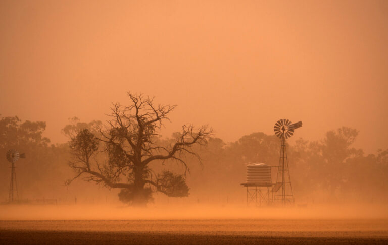
Australia and Indonesia typically experience drier conditions during El Niño, increasing the risk of wildfires and crop failures. Southeast Asia can see reduced monsoon rainfall, affecting agriculture and water supplies for millions of people.
El Niño also influences Atlantic hurricane activity. The same changes in atmospheric circulation that affect winter weather also increase wind shear over the Atlantic Ocean during hurricane season, which tends to suppress hurricane formation. That’s why El Niño years often see fewer Atlantic hurricanes—though it only takes one to cause devastation.
Not Every El Niño Is the Same
El Niño events vary in strength and duration. Some are weak and barely noticeable, while others are extremely powerful and disrupt weather patterns dramatically.
The El Niño of 1997-1998 was one of the strongest on record, causing widespread flooding, droughts, and severe weather around the world. Scientists estimate it caused tens of billions of dollars in damage and thousands of deaths globally.
Even during strong El Niño events, local weather can still deviate from typical patterns. El Niño changes the odds—it makes certain weather outcomes more likely—but it doesn’t guarantee specific conditions at any particular location.
How Scientists Monitor and Predict El Niño
Meteorologists track El Niño using a network of buoys across the Pacific Ocean that measure water temperature, currents, and atmospheric conditions. Satellite data provides additional information about sea surface temperatures and cloud patterns.
Climate models can predict El Niño development months in advance, though the exact timing and strength can be difficult to forecast. These predictions help governments, farmers, and emergency managers prepare for potential impacts.
Right now, forecasters monitor ocean temperatures regularly and issue seasonal outlooks that factor in El Niño or La Niña conditions when they’re present.
What About La Niña?
La Niña is essentially the opposite of El Niño. During La Niña, trade winds strengthen, pushing even more warm water toward Asia and allowing cooler water to rise along South America’s coast. The central and eastern Pacific become cooler than average.
La Niña tends to bring the opposite weather impacts: wetter and cooler conditions in the Pacific Northwest and northern tier of the U.S., and drier conditions in the South. Atlantic hurricane seasons are often more active during La Niña years because of reduced wind shear.
Why El Niño Matters for Your Weather
Understanding El Niño helps explain why some winters feel dramatically different from others and why long-range forecasts sometimes emphasize these conditions. When meteorologists mention El Niño in seasonal outlooks, they’re telling you that the odds have shifted—certain weather patterns become more or less likely for the coming months.
While El Niño doesn’t determine day-to-day weather, it sets the stage for broader patterns that can affect everything from your heating bill to local water supplies. Paying attention to ENSO conditions gives you a better sense of what kind of weather your region might experience in the months ahead.

